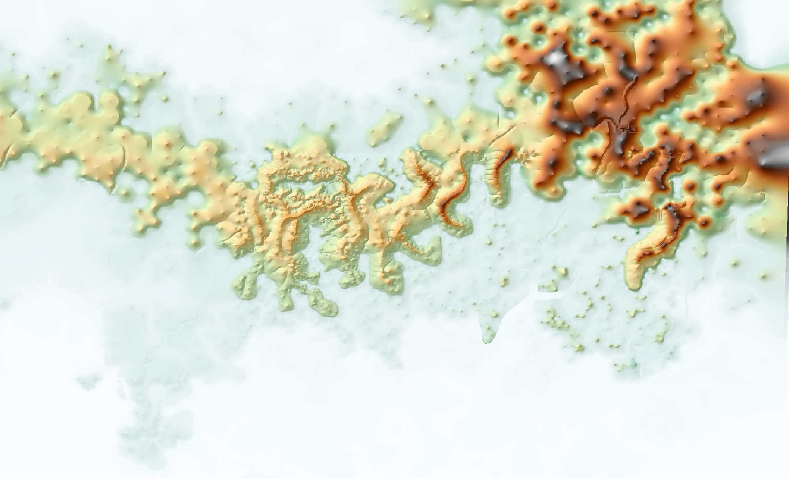
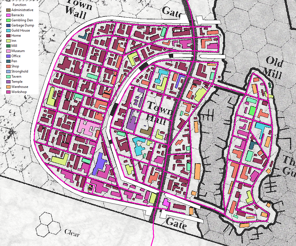
Finally got around to doing a player map of the known world for my game. The style was partially inspired by the mappa mundi and other world/continental maps of the early modern period. The coast lines are exaggerated and the rivers are smoothed out. I used the same settlement symbology I built for my college webmap, didn't really feel like developing something new. the political borders reflects the current state of affairs in my world.
I've also attached a write-up that I did for my players describing the different locations of the Empire
You can download a full size pdf
here
This document contains a brief description of some important places. What is described here is preliminary, and subject to change after I have finished transcribing my interviews with my dad and looking for details from there and then doing more research into cannon sources for more material. Population given is for the major city and not the total population of the hinterlands
Specularum and the Grand Duchy of Karameikos
Government/Ruler – Grand Duchy/Grand Duke Stefan Karameikos III
Fealty – The Holy Emperor
Ethnicities – Doulakki
Common Languages – Karamic, Trade Common
Real World Analog – Attica (Krakatos would be Athens)
Accepted Coinage – silver Denaro
Population – 7000
Description – Karameikans claim descent from the ancient Doulakki, cousins of ancient Taymora before it sunk beneath the rising tide, and in fact closer in lineage to the people of Thyatis than the surrounding Traladari people. The ducal family is a cadet branch of the Kerendic royal family who established Specularum as trading post about 130 years ago, and the current duke took the name surname Karameikos from the name of land and people. During the Imperial Wars Stefan sided with the Holy Empire against the Empire of Thyatis and was key to victory. It was during the war and its aftermath that the duke and Specularum rose to a position of prominence over the Traladari people, most of which sided with the empire of Thyatis, and were subsequently ‘converted’ or slaughtered. Before the war the citadel of Krakatos was the predominant power among the Karameikan people, but that city along with the noble Marilenev family sided with Thyatis while the other noble Karameikan families sided with the duke. Krakatos was razed to the ground leaving only hulking ruins and lady Magda Marilenev was left a widow and the sole survivor of her family. Many of the old Karameikan families now vie for power within the city hoping to overthrow the ‘foreign’ duke, while the new blood families that the duke has elevated to noble status support him in these power struggles. Specularum is the major shipbuilding center of the empire and supplies most of ships in her navy.
Threshold
Government/Ruler – Patriarchate/Patriarch Sherlane Halaran
Fealty – Grand Duke Stefan Karameikos III
Ethnicities – Doulakki and Daro
Common Languages – Karamic and Traladari
Real World Analog – Romania
Accepted Coinage – silver Denaro
Population – 500
Description – Formerly known as Lugsid. The ancient cult of Zirchev had constructed a sanctuary here and the town of Lugsid grew up around it. During the Imperial Wars, Patriarch Halaran, who was just a lowly missionary at the time, allied himself with Duke Stefan. After the war was effectively over, Halaran received permission from the Duke to stamp out the last vestiges of the old gods in Traladari lands. Being isolated as it was in the north Lugsid had escaped getting involved in the war, and now Traladari refugees who feared retribution for their part in the war were flocking to the old sanctuary. Halaran besieged the old stone walls for many months and was in the end victorious, slaughtering any who would not give up their faith in the old gods. Upon his victory he declared himself patriarch and swore an oath of fealty to the duke. Halaran immediately set about building a personal stronghold, Tarnskeep, nearby and rebuilding what was left of the town in his vision of the perfect community. The old stone walls were left to crumble while a new palisade was built to allow for future growth, and the old sanctuary was converted into a temple. Only about 30 years ago a band of adventurers discovered the old road to the lost valley and helped chase away the gnolls in the Foamfire valley, which opened up a new trade route to the north through the mountains. Threshold is now a thriving trading and logging town, supplying a majority of the lumber that makes its way to Specularum and fuels the shipbuilding done there.
Kelven
Government/Ruler – Barony/Baron Desmond Kelven II
Fealty – Grand Duke Stefan Karameikos III
Ethnicities – Doulakki and Daro
Common Languages – Karamic and Traladari
Real World Analog – Romania
Accepted Coinage – silver Denaro
Population – 2000
Description – Formerly known as Lavv, the legendary home of the ancient hero Halav. Here the cult of Halav worshipped at his sanctuary. This city was besieged for several years during the Imperial Wars by Desmond Kelven, a close friend of Duke Stefan, until its king surrendered to save his people from starvation. Kelven is as much a fortress as it is a city.
Luln
Government/Ruler – Town Council
Fealty – Grand Duke Stefan Karameikos III
Ethnicities – Daro
Common Languages – Traladari
Real World Analog – Romania
Accepted Coinage – silver Denaro
Population – 500
Description – This is a town of adventurers, refugees, and ruffians only nominally under control of the duke. For many years this was a place of shelter for those fleeing the tyranny of the Black Eagle Baron who rose to power during the Imperial Wars. Since the villain’s defeat by a band of adventurers nearly 30 years ago Luln has been fending for itself. The Town Council sends taxes every year to the duke simply as a measure to ensure the town is left alone.
Penhaligon
Government/Ruler – Estate/Lady Arteris Penhaligon
Fealty – Grand Duke Stefan Karameikos III
Ethnicities – Daro
Common Languages – Traladari
Real World Analog – Romania
Accepted Coinage – silver Denaro
Population – 375
Description – The Lord Arturus Penhaligon was a close personal friend of Stefan and did much to subdue the Traladari people in the north. He constructed castle Penhaligon as a means of enforcing the duke’s law on the common people. His daughter succeeded him and is the leader of the knights of the Order of the Three Suns.
Thyatis
Government/Ruler – Empire/Thincol the Brave
Fealty – The Holy Emperor
Ethnicities – Taymoran
Common Languages – Thyatic, Trade Common
Real World Analog – Constantinople
Accepted Coinage – silver Denaro, copper Follis(1/4d), gold Solidus(25d)
Population – 60000
Description – Thyatis was once a colony of the ancient Taymorans. The Empire of Thyatis is the last vestiges of the Old Empire. During the Nomad invasions which led to the conquest of the Old Empire 1000 years ago, the governor of Thyatis declared himself emperor and managed to hold onto the little bit of the empire that was left. Over the centuries the Empire of Thyatis was able to establish colonies on the Isle of Dawn, Ochalea, the Pearl islands and the hinterlands of Davania. During this period Thyatis was unchallenged as the major political power in this region of the world while the petty kings of the continent were busy posturing and fighting each other, and was the most populous city on the continent. About 60 years ago that power was challenged by the growing influence of the Holy Empire, and over the next several years a series of proxy wars took place in the lands of the Traladari, the Ierendi Isles, and Minrothad Isles; these came to be called the Imperial Wars. Ultimately Thyatis lost, the overseas colonies had revolted and declared independence from the empire or been overrun by the natives, so that in the end Thyatis only controlled its continental territories and a few minor islands. The emperor swore an oath of subservience to the Holy Emperor; the alliance was assured by the marriage of the daughter of the Emperor of Thyatis to the son of the Holy Emperor, and it was agreed that rights of the Empire of Thyatis would fall to the daughter and any subsequent descendants would hold dual rights to the crowns of both empires. The city of Thyatis has struggled to rebuild after the devastation of the long wars and is only a shadow of its former self.
Kerendas
Government/Ruler –Duchy/Duke Maldinius Kerendas
Fealty – Thincol the Brave
Ethnicities – Traldar
Common Languages – Kerendic
Real World Analog – Thessaly
Accepted Coinage – silver Denaro, copper Follis(1/4d), gold Solidus(25d)
Population – 10000
Description – This is the second largest city in the empire, and is famed for its excellent breed of horse and highly trained cavalry. The people of this region of the empire are the sole remnants of a migration of Traldar people which took place before the old empire existed.
Hattias
Government/Ruler – County/Count Heinrich Oesterhaus
Fealty – Thincol the Brave
Ethnicities – Doulakki
Common Languages – Hattic
Real World Analog – Ionia
Accepted Coinage – silver Denaro, copper Follis(1/4d), gold Solidus(25d)
Population – 3000
Description – The Isle of Hattias is dominated by scrubby hill country. Vineyards and olive groves are cultivated on the little amount of arable land there is, while the backcountry is used mainly as pasturage for goats and sheep. A few fishing villages do the coast, and the seat of government in the isle is a prime example of corruption and decadence.
Retebius
Government/Ruler – Duchy/Duke Callastian Retebius
Fealty – Thincol the Brave
Ethnicities – Doulakki
Common Languages – Hesperic
Real World Analog – Euboea
Accepted Coinage – silver Denaro, copper Follis(1/4d), gold Solidus(25d)
Population – 1500
Description – Ancestors of the ancient kingdom of Hesperia, the people here are proud and at the forefront of culture and innovation. Large portions of this duchy are dedicated to cattle ranching. The city itself is famous for the Knights of the Air, an order of knights that maintain a herd of pegasi.
Ierendi
Government/Ruler – Pirate Kingdom/King Palfrit and Queen Marianne
Fealty – The Holy Emperor
Ethnicities – Taymoran
Common Languages – Ierendic, Trade Common
Real World Analog – Laconia
Accepted Coinage – silver Denaro, gold Solidus(25d)
Population – 1200
Description – The people of Ierendi claim descent from ancient Taymora. Ierendi was used as a penal colony by Thyatis more than four centuries ago. After more than a century of virtual enslavement, the prisoners, led by one Mad Creeg, revolted and drove out the Thyatians. The Matrongle dynasty ruled the Kingdom of Ierendi for close to two hundred years before the last king was overthrown by the merchants of Ierendi city. The nobles and other influential figures fought among themselves, turning to piracy against each other and outsiders, each eventually forming their own petty kingdom. During the Imperial Wars these pirate kingdoms switched loyalty many times, but eventually all swore fealty to the Holy Emperor and were crucial in defeating the Thyatian navy. Every year a tournament is held and the winner is named Pirate King or Queen. The real power of government is held by the Ierendi Tribunal, a council of the various pirate lords. Each member of the tribunal is appointed or approved by the Emperor, any pirate lord excluded from the tribunal suffers severs disadvantages politically, economically, and militarily.
Minrothad
Government/Ruler – Syndicracy/Guild Master Oran Meditor
Fealty – The Holy Emperor
Ethnicities – Taymoran
Common Languages – Minrothic, Trade Common
Real World Analog – Achaea mixed with the Hanseatic League
Accepted Coinage – silver Denaro, copper Follis(1/4d), gold Solidus(25d)
Population – 2500
Description – Both the humans and the elves of Minrothad claim to have inhabited the ancient lands of the people of Taymora before it was swallowed by the rising tides. The people of Minrothad have always been sea-faring merchants who prefer to settle conflicts with negotiation and coin over violence. Much of this attitude comes from the influence of the water elves of Alfeisle who have often acted as peacemakers when conflict arose. More than five centuries ago Hadric Corser established the first federation between the many human settlements in Minrothad, establishing himself for all time as a national folk hero. Gregus Verdier followed in his footsteps by establishing the council of dread which united the human and elven communities. Just under two centuries ago a group of influential merchants gathered in the Council of Minrothad beginning a program of reform and establishing the Minrothad Guilds in the form it is today.
Minrothad is confederation of guilds of various sorts: merchant, trade, family, etc. During the Imperial Wars, the Guild sided with Thyatis; at the end of the war there was a great lycanthrope scare among the isles and the guilds withdrew from the war and ceased all interaction with the outside world. The withdrawal of Minrothad’s fleet caused Thyatis to suffer a great loss in a battle at sea. It wasn’t until nearly ten years after the war that Oran Meditor became ruling guild master and opened up the trade of Minrothad. It was Oran who negotiated a treaty with the Holy Empire that was favorable to Minrothad.
Tel Akbir
Government/Ruler – Duchy/Sheik Terik ben Nadir
Fealty – Thincol the Brave
Ethnicities – Doulakki and Iasuli
Common Languages – Hesperic and Birran
Real World Analog – Malta
Accepted Coinage – silver Denaro, copper Follis(1/4d), gold Solidus(25d), copper Fals(1/4d), silver Dirham(1d), gold Dinar(24d)
Population – 2000
Description – This region of Thyatis is occupied primarily by people of Iasuli descent, but they have been under the rule of Thyatis for so long that they consider themselves to be Thyatic and are proud of their mixed heritage. This city acts as major seaport on the trading routes between Thyatis and Ylaruam and the Northern Reaches.
Biazzan
Government/Ruler – Barony/Baron Babrak Biazzan
Fealty – Thincol the Brave
Ethnicities – Traldar and Iasuli
Common Languages – Biazzic and Alasiyan
Real World Analog – Cyprus
Accepted Coinage – silver Denaro, copper Follis(1/4d), gold Solidus(25d), copper Fals(1/4d), silver Dirham(1d), gold Dinar(24d)
Population – 1250
Description – This is a small valley in the mountains that acts as the only significant pass between the lowlands of Kerendas and Ylaruam. The area was originally settled by the Iasuli and later conquered by Thyatis; the Iasuli that remain tend to be treated as second class citizens. The city of Biazzan is famous for its prestigious university, and the population is divided evenly between those who study or teach at the university and merchants conducting trade between the empire and Ylaruam.
The Imperial City of Darokin
Government/Ruler – Empire/Corwyn Mauntea
Fealty – n/a
Ethnicities – Daro
Common Languages – Daroki
Real World Analog – medieval Rome
Accepted Coinage – silver Denaro
Population – 5400
Description – This was the ancient capitol of the old empire until it was overrun by nomads from the west 1000 years ago. Corwyn Attleson was the first King of Darokin after the nomads fell to infighting. The Kingdom never attained the glories of its ancient past, and the last of the kings of Darokin, King Santhral II, died without any heirs more than 300 years ago. During the waning years of the kingdom, the Church gained more power and took on more responsibilities, so when the dynasty of kings died out there was a relatively smooth transition of power to the local Patriarch. For the next 200 years the Patriarchs ruled the City of Darokin and its hinterlands peacefully and became renowned for the zeal and charity of its citizens. When Charles Mauntea became Patriarch he began a series of crusades against the neighboring kingdoms and in short time had annexed the entire streel river valley, excluding the elves of Alfheim with whom he arranged a non-aggression pact. In the year 927 all the Patriarchs of the Empire gathered in the first Great Ecumenical Council and granted the title of Holy Emperor to Charles Mauntea and all his successors; the Holy Emperor became the first among equals within the patriarchs of the church. The Empire remained fairly stable for the next 40 years, until Corwyn Hoff was crowned Emperor and called for a crusade against Thyatis initiating the 10 year period known as the Imperial Wars. After this last victory, the empire has established military outposts guarding trade routes through the broken lands and the Sind Desert, and forging alliances with nearby Ylaruam. Rumors abound about an impending crusade into the Ethengar plain as a preemptive strike against the Golden Khan.
Corunglain
Government/Ruler – Merchant Republic/Natalie Kalimi of the Corun House
Fealty – The Holy Emperor
Ethnicities – Daro
Common Languages – Glaini
Real World Analog – Florence
Accepted Coinage – silver Denaro, silver Denier(1d)
Population – 3100
Description – This was once a mighty city that rivaled Darokin in culture and power, however the city was besieged and ravaged by orcs over 500 years ago. The ancient people, culture, and language of this once great city were destroyed in a single night. The people who live here now are descendants of settlers from Darokin. The city now is a veritable fortress, ever watchful of the nearby orc tribes. The queen oversees a series of military outposts through orc territory along two caravan routes leading to the City of Glantri and the Ethengar Khanate. These caravan routes are the major source of wealth for the city.
Akorros
Government/Ruler – Merchant Republic/Mendel Callister of the House Toney
Fealty – The Holy Emperor
Ethnicities – Daro
Common Languages – Akorri
Real World Analog – Genoa
Accepted Coinage – silver Denaro
Population – 2300
Description – The sister city of Akesoli on Lake Amsorak, Akorros is the major trade hub of agricultural goods in the Streel River valley. The city is virtually run by the organized crime element of a few families.
Dracopolis
Government/Ruler – Free City/Guild of Adventurers
Fealty – The Holy Emperor
Ethnicities – Daro, Doulakki, Taymoran, Traldar, Ethesti, Iasuli, Gothic
Common Languages – Trade Common
Real World Analog – n/a
Accepted Coinage – silver Denaro
Population – unknown
Description – This city was founded by a group of adventurers over 30 years ago at the mandate of the Dragon Council, with the goal of fostering an environment where humans and Demihumans and dragons can learn to work together. The city has become a major center of trade between Karameikos and Darokin and Ylaruam, even to the point of overshadowing Selenica. The Guild of Adventurers has established a company in every major city of the empire and Ylaruam, and is looking to expand beyond the empire into neighboring regions.
Athenos
Government/Ruler – Merchant Republic/Lucius Linton of Linton House
Fealty – The Holy Emperor
Ethnicities – Daro
Common Languages – Atheni, Hinnic, Trade Common
Real World Analog – Venice
Accepted Coinage – silver Denaro
Population – 1500
Description – This city of canals and islands has only recently gained its reputation as a major port. For many years it was a backwater fishing village at the edge of the Malpheggi swamp. The city only began to reap the profits of trade when the Linton family convinced investors that the swamps were navigable. The city has been on a meteoric rise to power and wealth ever since and has lofty goals of becoming the rival of Thyatis.
Ylaruam
Government/Ruler – Emirate/Emir Sturling
Fealty – n/a
Ethnicities – Iasuli
Common Languages – Alasiyan, Trade Common
Real World Analog – Tunisia (pre-Islamic)
Accepted Coinage – copper Fals(1/4d), silver Dirham(1d), gold Dinar(24d)
Population – 1300
Description – This kingdom has come to power only recently nearly 200 years ago after a five year campaign by Suleiman Al-Kalim to drive out the foreign colonists of both Thyatis and Heldann. The descendants of Suleiman have ruled the emirate ever since, frequently clashing with their culturally different neighbors. About 30 years ago Emir Sturling waged a war against the Jarls of Vestland and conquered much of that land. It was around the same time that an alliance was arranged with the Holy Empire. The country is inhabited mostly by nomads who make a life out of the harsh desert. The oasis of Ylaruam is the focal point of all trade across the region and is home to many imported luxuries.
Akesoli
Government/Ruler – Kingdom/Greenleaf Vickers of the Umbarth Dynasty
Fealty – The Holy Emperor
Ethnicities – Ethesti
Common Languages – Akesolian, Akorri
Real World Analog – western Anatolian Turks
Accepted Coinage – silver Denaro
Population – 1700
Description – The Ethesti are remnants of a nomadic culture that conquered the empire 1000 years ago. The descendants of these nomads survive in the plains to the West of Akesoli. Akesoli is sandwiched between the nomads and the civilized lands of the empire. It is an important link in the trade network of the west, dealing more in the shipment of goods than their production. However it is famous for making excellent rope, and virtually all the boats that ply the waters of Lake Amsorak are built here.
Selenica
Government/Ruler – Kingdom/Bertram Hallonica of the Hallonica Dynasty
Fealty – The Holy Emperor
Ethnicities – Ethesti, Daro, Doulakki, Iasuli
Common Languages – Selenican, Daroki, Karamic, Alasiyan, Trade Common
Real World Analog – eastern Rumelia
Accepted Coinage – silver Denaro, copper Fals(1/4d), silver Dirham(1d), gold Dinar(24d)
Population – 3900
Description – During the time of the old empire this city was known as Salonikas. After the Nomads overran this area, a tribe of the Ethesti decided to settle down and make this place their own. Over the centuries they have the mixture of the two peoples has led to the development of a unique culture and language. At the crossroads between Karameikos, Darokin, and Ylaruam the city is a natural point of cross-cultural exchange; distinct districts for each foreign population have grown up over the years. The city is virtually independent of the empire and bristles whenever an imperial official arrives with a new decree; the city is notorious for skimping on its taxes and running the tax collector out of town.
Soderfjord
Government/Ruler – Jarldoms/various
Fealty – Emir Sturling
Ethnicities – Gothic
Common Languages – Vestian
Real World Analog – the Danelaw
Accepted Coinage – silver Forthin(1/4d), silver Sceatt(1d), silver Skillin(4d)
Population – 700
Description – Many centuries ago the Gothic people came from the north, making war on the native Deheuol people and colonizing the land. The region has been ruled by many petty kings through the years. Approximately 500 years ago another wave of raiders from the north, the Heldannic people, invaded the isles nearby. From there the raiders invaded this land which they called Vestland, carving up the country between themselves. For the last few hundred years the numerous Jarls have fought amongst themselves for power, wealth, and prestige. The majority of the population is still of Gothic ancestry subject to the ruling Heldannic elite. About 30 years ago the Emir of Ylaruam waged a bloody and ruthless campaign, known as the Prism Wars which resulted in the subjugation of most of jarls to his rule. The campaign was only halted when the Jarls put aside their squabbles and feuds and formed the Nordhartar Defense League electing Ragnar the Stout as their War Leader. Any adventurers in the Guild originate from the territory of the Jarls which are subject to the Emirate of Ylaruam.
Ghyr
Government/Ruler – Kingdom/Queen Leahra
Fealty – Emir Sturling
Ethnicities – Gothic
Common Languages – Vestian and Alasiyan
Real World Analog – Wessex
Accepted Coinage – copper Fals(1/4d), silver Dirham(1d), gold Dinar(24d), silver Forthin(1/4d), silver Sceatt(1d), silver Skillin(4d)
Population – 900
Description – This kingdom alone of all Gothic kingdoms was able to withstand the onslaught of the Heldannic invaders. King Ganto of Ghyr allied with the Ylaruam during the Prism Wars. King Ganto assisted the Emir in obtaining many victories on the battlefield, and became known as ‘the Great Defender of Peace’ in his later years. As a result Ghyr’s alliance, the kingdom is virtually autonomous and only pays a nominal tribute to Ylaruam every year. Since the war the kingdom has benefitted greatly from trade, and many Alasiyan merchants have settled in the region. After King Ganto’s death, Queen Leahra ascended to the throne and married one the local nobles. She has ruled the realm wisely for many years.
Canolbarth Forest
Government/Ruler – tribal clans/The Treekeepers
Fealty – allied with The Holy Empire
Ethnicities – High Elf and Wood Elf
Common Languages – Hight Tongue and Sylvan Speak
Real World Analog – n/a
Accepted Coinage – silver Denaro(only in Alfheim Town)
Population – 1500(Alfheim Town)
Description – Not much is known of Alfheim by the outside world. It seems the elves have inhabited the forest eternally. The elves that live here have a strange green pigment to their skin. Any who enter the forest are often never seen again. Alfheim town was built many centuries ago as official place for what limited trade the elves would tolerate, more for the benefit of the neighboring Daro people than for any need the elves had of their goods.
Radlebb Woods
Government/Ruler – clan Callarii/The Tree keeper
Fealty – allied with Duke Stefan Karameikos III
Ethnicities – Gray Elf
Common Languages – Sylvan Speak
Real World Analog – n/a
Accepted Coinage – silver Denaro(only in Rifflian)
Population – 170(Rifflian)
Description – The Callarii elves inhabit these woods. They keep mostly to themselves and people who wander these woods tend to disappear. The elves have an arrangement with the duke to provide a small retinue to act as personal guards for him in exchange for their privacy. They do maintain the small village of Rifflian on the Windrush as trading post and means of contact with the outside world.
Dymrak Forest
Government/Ruler – clan Vyallia/The Tree keeper
Fealty – n/a
Ethnicities – Valley Elf
Common Languages – Sylvan Speak
Real World Analog – n/a
Accepted Coinage – silver Denaro, copper Follis(1/4d), gold Solidus(25d) (only in Greenheight)
Population – 100(Greenheight)
Description – The Vyallia elves inhabit the eastern portion of this forest and are reclusive, even by elven standards. The Greenheight family rebelled against the customs of the clan several centuries ago and built a settlement after the manner of the humans at the edge of the forest. Here they have been teaching humans the ways of the elven forester and allied themselves politically with the Empire of Thyatis.
Alfeisle
Government/Ruler – Guilds Verdier and Elsan/Ulard Forster and Eluna Kelar
Fealty – Guildmaster Oran Meditor
Ethnicities – Wood Elf and Water Elf
Common Languages – Sylvan Speak
Real World Analog – n/a
Accepted Coinage – silver Denaro, copper Follis(1/4d), gold Solidus(25d)
Population – 2000(Seahome), 1300(Verdon)
Description – This Isle is home to Meditor and Verdier elves. They inhabited this land since before the flooding of Taymora. Over the centuries the Meditor clan took to the seas and drifted away from the ancient traditions, while the Verdier elves became more insular and retreated to the dense woods of the highlands. The Meditor elves were the ones who became involved with the affairs of the surrounding people of Minrothad. Only recently have the Verdier elves begun taking a more active role so as to prevent their Meditor cousins from making decisions that affect the whole island.
Rockhome
Government/Ruler – Kingdom/King Everast
Fealty – n/a
Ethnicities – Mountain Gnome and Forest Gnome
Common Languages – Denwarf’s Tongue and Gnomish
Real World Analog – n/a
Accepted Coinage –
Population – 5500
Description – The great King Denwarf led the gnomes the great cavern of Dengar(literally translates as ‘Rockhome’) in the mountains millennia ago. The Mountain Gnomes once had 6 sister citadels throughout the known world, but they each have fallen one by one over the centuries and Dengar is the only surviving citadel. Denwarf’s Folk, as they like to call themselves, are an industrious people enamored with the riches of the earth. They have a strong military tradition which has enabled them to guard their homes and secrets for so long. Only in recent years have the gnomes begun trading items of their craftmanship in earnest to other peoples, though they still have a keen distrust of elves.
High Forge
Government/Ruler – Council of Elders
Fealty – allied with Duke Stefan Karameikos III
Ethnicities – Forest Gnome
Common Languages – Gnomish
Real World Analog – n/a
Accepted Coinage – silver Denaro
Population – 620
Description – The gnomes of the High Forge clan are scattered throughout the Wufwold hills in burrows of no more than 100. The gnomes are a solitary bunch, limiting their business with the outside world to their yearly caravan which journeys to Specularum and back.
Five Shires
Government/Ruler – Shires/the Sheriffs
Fealty – allied with Holy Emperor
Ethnicities – Garden Gnome
Common Languages – Hinnic
Real World Analog – n/a
Accepted Coinage – silver Denaro
Population – 2400
Description – The Hin have inhabited what they call Hinhome since before recorded history. These gnomes have faced many hardships over the centuries, first being ruled by a tribe of orcs, and then being subjugated by the nearby Mountain Gnome citadel of Thunderdelve; they have conducted wars on the high seas with the Empire of Thyatis. In short the Hin have often been underestimated and bullied by other peoples, but always come out on top. To an outside observer the Five Shires appears to be an uninhabited picturesque parkland of rolling hills of woodland and meadow. In reality the land is heavily cultivated and pruned; the Hin live in small burrows underneath the hills that are almost impossible to detect unless you know what you are looking for. The Hin adhere to a clan structure with each sheriff acting as a mediator and judge over the clans; each year, and as necessary, the sheriffs gather to conduct business that affect all the Hin people.
Honor Island
Government/Ruler – Supreme Symposium of Gnomish Syndicates
Fealty – n/a
Ethnicities – Tinker Gnome
Common Languages – Gnomish
Real World Analog – n/a
Accepted Coinage – silver Denaro, gold Solidus(25d)
Population – unknown
Description – This is a largely unknown island that is independent of any king or emperor, though it is often grouped with the Ierendi isles politically based on its geographical proximity. It is known that the island is home to a secret cabal of magicians practicing a unique craft of magic. A small clan of gnomes is also said to serve the magicians who rule the island. The gnomes are responsible for wondrous steel ships which are impervious to attack and deadly to all other vessels; some are even said to be able to submerge themselves underwater. Any trespassers on the island are executed. The magicians hire out their ships to Ierendi in exchange for supplies and an exorbitant amount of wealth in the form of raw metals and gems.